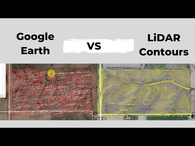
Google Earth Contours vs LiDAR (How to Extract Contours from Google Earth and How they Compare)
Комментарии:

what version of QGSIS are you using? Thanks
Ответить
Why do you need to jump through hoops to do something as common as contours in Google Earth? Google is dreadful at software!
Ответить
Madam i like your style of teaching and experience love this
Ответить
yes super
Ответить
why not use the topo from eaquator studios intead the one from google earth?
Ответить
Is that lidar data available for Africa? Good presentation.
Ответить
How do i change my contour interval of LIDAR database on excel
Ответить
good afternoon. Can this technique be used to study the shores of the seas and lagoons? I am interested in the height and slope of the coast. Thanks
Ответить
How can I get an elevation profile/cross section like you show in Excel from geotiff LIDAR data?
Ответить
Thank you
Ответить
Thank you for the video!
Ответить
Amazing. I will be using similar visualizations for drone survey vs goog earth resolution in a digital portfolio format. But I will have to include a video presentation. You did this so well.
Ответить
WOW! I'm not completely following what you're doing here, but I've been very interested in maps, topo, and lidar. I just searched you tube to see if there's anything I don't know, and obviously there is! Oddly enough the spot you zoomed into is 2 counties north of me in Iowa! On the site I use we just got 2020 lidar color hillshade for my area, which is awesome! It picks up my ATV trails through the timber, even logs lying on the forest floor. I use the maps to help with farm maintenance and also help in my hunt for arrowheads. And it's just neat to explore places I normally wouldn't be able to go.
Ответить
"Topography " icon Not found on equator app
Ответить
Hi, first time to see equator app, just asking is it free and is it cover the entire world? Bcoz sometimes it's only in the US.... thanks
Ответить


