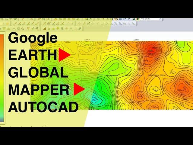
The easiest way to EXTRACT CONTOURS from GOOGLE EARTH directly in AUTO-CAD using GLOBAL MAPPER
Комментарии:

salamat sir
Ответить
The data imported is not accurate with reality at all. Greatly disappointing, and for software that is not cheap, I would expect accuracy for this method
Ответить
Trash, software is not free and for even for free trial there are too many questions like what is my phone number. I am not giving you any valuable information you can sell.
Ответить
i hope it works for importing into Infoworks. >.<
Ответить
It's a great video, but I am sorry to tell you, when you compare Global Mapper Elevations vs Google Elevations is like comparing Mars Contours vs Earth Contours, they don't even see to be related. So, careful. This is not intended as hatred comment, is so you be aware and don't risk your engineer license on this approximation.
Ответить
how we down load it
Ответить
when i open the dwg file exported from global mapper, it seems to be in so much small scale. what should i do
Ответить
I tried to do the same and the contour values are intermingled in to each other until it's not able to read them. How do I solve this please
Ответить
Hello, thanks for your tutorials. How do I generate contours of the marked place only! I can see in your tutorial the generated contours have been imported even of the area outside the mapped site
Ответить
Sorry did I miss hear that Global Mapper is free?! Certainly isn't!
Ответить
amazing!love your vedio!
Ответить
wow
Ответить
Your new subscriber added here😇
Ответить
Wow i needed this, thnx alot
Ответить
great....super.
Ответить
Which version of global mapper? Worlwide elevation not seen in v15
Ответить
I like the title: easiest way!
Ответить
Thank you so much😊😊
Ответить
THANK YOUUUUUUUUUUUUUUUUUUUUUUUUUUUUUUUUUUU
Ответить
love u broooooooooooooooooooooooooooooooooooooooooooo i love u thxxxxx
Ответить
Sir, is this a 3d or 2d file in AutoCAD ? Thanks
Ответить
maps
Ответить
i generate the countours but when i paste the countours in my bridge drawing which is on coordinate, the co-ordinates are not match.
Ответить
Very good explined
Ответить
I am unable to export cad file
After save file in lidar but file is not visible
I try to save on desktop other location but nothing works

Please help me i ;(. I export kmz format and its more from 3d view than a 2d view that i set up in google earth. What can i do xd
Ответить
which is better? this method or the surfer one? do they have differences expect the more process that it needs to get ur contours out?
Ответить
Thank you very much for video, It is usfull
Ответить
How to delete the colors (or each of the colors) on the Acad contour map? I did not catch what you say- you skip off too fast.
Also can you show how to export contours so obtained back to Global Mapper and/or to Google Earth?
Thank you.

your english accent so good . thanks for sharing . . . .
Ответить
Please help, how can I export it in Autocad with the right/exact scale??
Ответить
Sir, I wanted to ask how much precise is the contour data?
Ответить
Global mapper costs 500$?
Ответить
Sir I am being unable to generate contours with Colour Hatching. How to make it happen??
Ответить
Great video! Can you talk more on the Globalmapper legend? I can't get this kinda shaded color scheme of contour. Thanks!
Ответить
thaaaankkksss!!! and thanks BlueMarble for giving free trials of Global mapper
Ответить
Hi Sir... I have completed all the steps and Finally when I opened AutoCAD..Zoom Extents..Nothing is there. But in the layer the names are showing. But there is no objects. Please help me to solve.
Ответить
i love u<3 u basically saved me today<3 bless u
Ответить
How to get globel mapper ?is that paid one
Ответить
I do not see anything on my workspace
Ответить
Thank you. This is very efficient
Ответить
How to make 3d the contur
Ответить
Thank you so much, it was very helpfull
Ответить
sir how to scale to autocad drawing after export
Ответить
Can you continue to draw L&X section profiles from this dwg file?
Ответить
Sir ur email id snd me
Ответить
very nice
and
helpful thankyou!!!

Great fast demo. Love it. Subscribed and liked
Ответить


