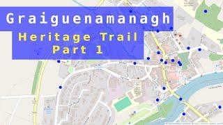
Mapping Graiguenamanagh Heritage Trail 1
Mapping your local heritage trail is a great chance to get to know aspects of that area's history and the raise its visibility on a map that does not merely focus on commercial sites. This is the first part of a mini series which will see us map Graiguenamanagh Heritage Trail in much detail.
00:00 Introduction
00:11 A look at the official map in Graiguenamanagh
00:22 Mapping the POIs on the trail by exploring the area using OSMAnd
03:59 Using the leaflet to find all the POIs
05:31 Creating the relation type=site on OpenStreetMap
12:06 Searching for the relation using overpass-turbo.eu
00:00 Introduction
00:11 A look at the official map in Graiguenamanagh
00:22 Mapping the POIs on the trail by exploring the area using OSMAnd
03:59 Using the leaflet to find all the POIs
05:31 Creating the relation type=site on OpenStreetMap
12:06 Searching for the relation using overpass-turbo.eu
Комментарии:
Mapping Graiguenamanagh Heritage Trail 1
OSM for History Buffs
Санька чистосердечно вынес мозг ГАИ.
vitalino1980
MADDY BURCIAGA - 02 Juillet 2024
Maddy Burciaga Life Fan
Naruto challenge #shorts #naruto #challenge #fail find on hidden picture
Jaseel Jasir Magic


