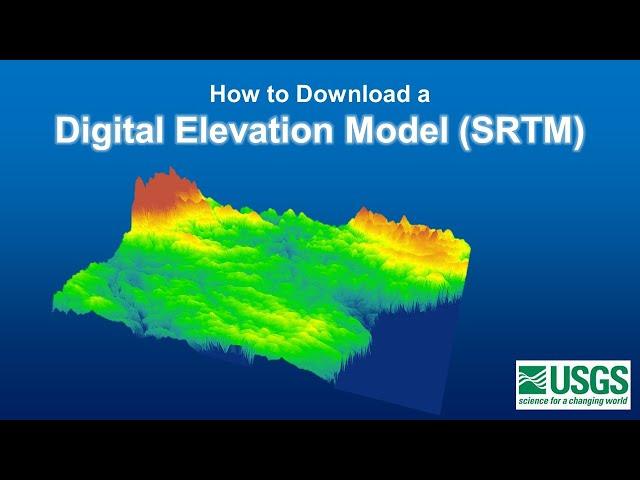
Downloading Digital Elevation Data (SRTM) from USGS EarthExplorer
Комментарии:

some people take non void filled dem for process and fill the missing data
Ответить
Really good stuff sir. Well done
Ответить
This was super helpful. Thank you!
Ответить
Thank you so much, super useful video :)
Ответить
What is SRTM water body data?
Ответить
The kml file means the area of interest which is extracted from toposheet??
Ответить
How to I get the map to show? And is it possible to get a satellite one
Ответить
Is it possible to download dem on the year basis?
ex : 2020 elevation data ,2021 elevation data.

Can you please help me with downloading DEM using USGS Earth explorer.when I downloaded DEM it is been downloaded as black shade picture.
Ответить
Thank you so much, i needed this!
Ответить
Thank you so much...this video was very helpful
Ответить
Many thanks dear
Ответить
Hi Sir, could I ark you a question, I download the SRTM with 30 m Res so I can't import to program like Geosoft montaj, do you have any idea for solve this problem ,
Thank you Sir

This is exactly what I was looking for, and super easy to follow. Thanks!
Ответить
Is there a way to combine multiple elevation data into one file for a whole country? I basically want the elevation data of the UK with the land borders
Ответить
hi sir, please explain how can i download SRTM images of one location in time-based like 2000, 2010, and 2020 years images if available so.
Ответить
Thank you for your swift explanation. Do I extract the geotiff data before loading into ArcGIS? Mine is not reading what I have downloaded
Ответить
Thanks dude
Ответить
hello, I require a slight clarification. How do you get the 'height of water' for certain geographical coordinates, at a particular time when DEM is unavailable?
Ответить
Can this app showing the cave underground? Or showing underground water?
Ответить
Hi thank you for this vidio.can you tell how to get correlation between Dem and LULC
Ответить
Thank you. Can you tell how to get correlation between dem data and LULC
Ответить
The video really helped me out. While working on a project on GeoHECRAS I was able to extract HEC-RAS cross sections from the elevation data.
Ответить
Thank You!
Ответить
Thankyou for your good lessons
Ответить
THERE IS PROMBLE IN LOGIN OR CREATING ACC
Ответить
Sir my study area is located in Kashmir. Cud u plz help. Me to download DEM for my study area
Ответить
any idea where to get some data for 2m res
Ответить
SRTM water body could be helpful for islands? Or its use is different?
Ответить
Can you use QGIS instead of Arcmap?
Ответить
I love your way of explaining in all your videos! Thank you Sir!
Ответить
When is it advisable to use SRTM and IFSAR Dem? Is it depend on the size of your area of interest?
Ответить
where can i find elevation data for further than 60° north?
Ответить
Thank you
Ответить
Very educative detailed stepwise.Thank you
Ответить
TYSM ILY
Ответить
Sir i learned how to download but how you add this file in Arc gis ..if you have video related to that kindly share link in comments
Ответить
When I drag my .tiff fil into qgis, it's not on the same place as I thought it would....
Ответить
Excellent! This has been a longstanding problem for me - getting contour lines in foreign countries to pursue my rail foamer plotting of new and upgraded passenger rail lines worldwide! Google Earth's elevations in the status bar are great but you're blind without contour lines to show the shape of things. I am very excited about this. Thanks so Much!
Ответить
@GeoDelta Labs Your missing something... When I follow these steps and click the results button it says no data found.
Ответить
Is it possible to delineate a watershed and burn streams from a Sentinel 1 image (10 m resolution?)
Ответить
Sir I am using this method for many years but now days, whenever I tried to download SRTM DEM, it shows no result found. Where as, except SRTM DEM, others items from the website can be downloaded.
Please help me....

Big big big thanks.
Ответить
how do i add points
Ответить
Thanks
Ответить
thank you a lot,
Ответить
Thank you very much for the video! :)
Ответить
How to incorporate DEM data(z value) for better accuracy in classification in arcgis?
Ответить
Thank U so much.....Very helpful
Ответить


