digitizing an adminstrative boundary part1 2
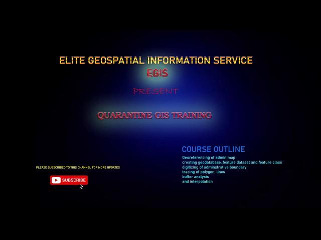
this is an online academy of elite geospatial information services. and today we are starting a training session called QUARANTINE GIS TARINING
TODAY WE ARE GOING TO TREAT THE SUBJECT digitizing
the students are required to follow the instructions in the video and do there assignment.
do not forget to subscribe to this channel for more update
links to the working data for this video and training sessions below
copy this link and paste on another tab in yur browser to download
https://drive.google.com/drive/my-drive
Тэги:
#gis #georeferencing #arcmap #arcgis #training #module #elite #dr_paul #paul #enenche #dr_paul_enenche #dunamis #deborath #digitizing #feature_class #feature_datasetКомментарии:
Вилла в ДУБАЕ от Roberto Cavalli | Как живут БОГАЧИ и почему ее ПОКУПАЮТ? Недвижимость в Дубае
Empire - Недвижимость в Дубае
digitizing an adminstrative boundary part1 2
ELITE GEOSPATIAL
Kingdoms of Marine Life | Marine Biology | The Good and the Beautiful
The Good and the Beautiful Homeschool Science
Indonesia's First Bullet Train! (First Class vs Economy)
Alexander White
Campingplatz Torre la Sal "Maria", Cabanes, Costa del Azahar (Spanien)
Unterwegs und doch daheim
護理師的甘苦誰人知?站在前線的心理壓力&健康問題|雞雞喳喳EP6
IAMGDROP我是雞爪


