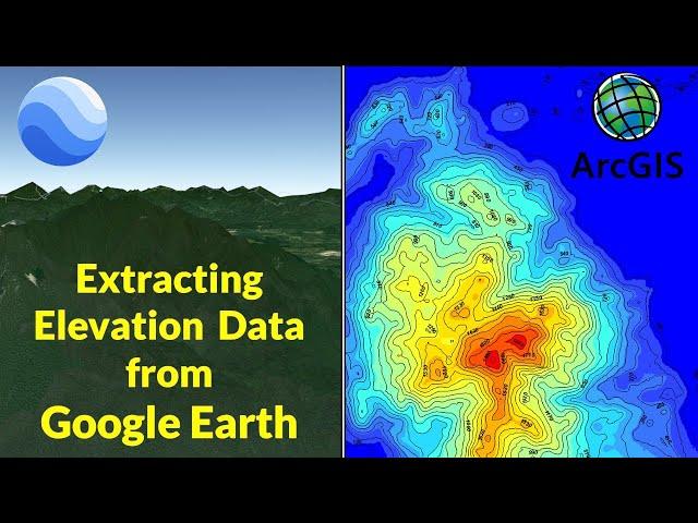
Extracting Elevation Data from Google Earth
Комментарии:

Great video,how do ceate th using Q GIS
Ответить
This is so random. Not only i was shocked that you chose Malaysia, but you also zoom into my hometown. Thanks!
Ответить
It gave me coloured boxes instead if elevation map after using kriging spatil analytical tool
Ответить
Thank you very much for your patience in teaching and making your training very easy to follow. Please can we do the same in QGIS because I do not have Spatial analyst and all other extension tools in my version of ArcMap.
Ответить
Thank you somuch
Ответить
Cool
Ответить
extremely helpful thankssss
Ответить
Mximum useful for Arcgis Learner
Ответить
thanks so much
Ответить
Can we use EAsyGPS in place of ArcGIS?
Ответить
thanks !
Ответить
Can’t we do this in Q- GIS tool??
Ответить
Sir my data source don’t show coordinate system.. how can solve it?
Ответить
the lecture is very interesting I am attending attentively. I don't know what steps I lost; from the input (C:\Users\lenovo\Desktop\20230127050417-44037-data.gpx) the output also comes (C:\Users\lenovo\Documents\ArcGIS\Default. dB\c2023012705041744037data_GPX). It would be very help full if you advise me know the mistake I did. In advance thank you so much.
Ответить
Thank you, what is the source of the altitude, terrain data in GoogleEarth?
Ответить
Very helpful, thank you. Question: Why saving the point in KML and not KMZ?
Ответить
Thanks.Sir.
Ответить
this is so cool ahhhhh thank you king
Ответить
How can we extract bathymetri data, marine depth ?
Ответить
Highly helpful 👌
Ответить
Very informative
Ответить
Thank you so much...and what if the cell size when working with UTM.
Ответить
the best way is to copy down the elevation at each point of interest then mark up anheight map in shades of grey.
Ответить
You do an outstanding job of explaining!!
Ответить
I have a geotiff file with more accurate elevations than Google Earth. How can I make Google Earth use these data when exporting the .kml?
Ответить
when I click search it shows me a list
Ответить
Amazing! Great Work
Ответить
when i try the process i keep getting an error message that says 'output feature class Empty'
Ответить
great video. i am grateful
Ответить
Cool video!
Do you know if there's a way to export the elevations including buildings and other structures? Because when I tried this method it only sees the terrain.
Cheers

fantastic 🌹❤️🌹
thank you so much

you can still do this with the new shitty online arcgis, import your kml file and click the perform analysis icon
Ответить
Perfect and well articulated. As someone who only knew about generating contours using drone images, I have now learnt even much more from this. You have made my day and trimmed the long process of doing things thanks alot.
Ответить
Awesome.
Ответить
Thank you the gourgeus tutorial and i need to know we can make these contour's section to produce a profile and save it in DWG Files that mean it can be used in CAD soft . thanks for your help .
Ответить
Great Video
Ответить
Great video. Is there a way of taking the Google Earth elevation data for a small arear and covert in to a height map? maybe with some free software options? Looking to make height maps for small arear up 600 yards and less.
Ответить
I'm getting a bad map with this which I think is because of this: "Coordinates have measures: No" and I don't know why that is
Ответить
I cannot get the elevation data
Ответить
Your video is amazing..
Ответить
That's amazing. I like making my own maps for hiking. 👍
Ответить
This has been tremendously helpful. Thank you
Ответить
Where i can get a Arcmap?
Ответить
god bless you
Ответить
Hmm. 🤔 But if i wanna make a trekking map, with maybe the satilite image in the background so i can visualise the lakes ponds etc etc. How do you do that? 😐
Ответить
How does GPS visualiser work? I'm using QGIS which will accept KML files so why is it necessary to convert it to a text file? Is it that QGIS can't read the elevations values in the KML or does GPS visualiser add elevation data and then convert it to a text file?
Ответить
How can I possible extract a Dem with the exact boundary are? Was is possible?
Ответить
Thank you for sharing this...its so helpful and amazing thank you so much
Ответить


