ArcGIS Basics I 2. GIS Basics I No. 1 I ArcGIS Interface I #howto #gis #mapping #trending #qgis
ArcGIS Basics II ArcGIS Interface II #howto #gis #mapping #trending #remotesensing #qgis
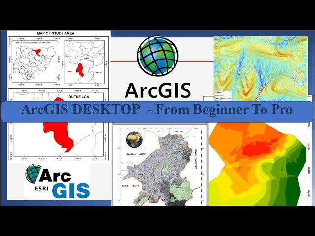
The "ArcGIS Desktop: Tools and Functionality" course is designed to take beginners through a comprehensive journey to become proficient users of ArcGIS Desktop software. Throughout the course, students will learn various tools and functionalities within the ArcGIS Desktop environment, moving from beginner to advanced levels of proficiency.
The course begins with an introduction to ArcGIS Desktop, its interface, and basic functionalities. Students will learn how to navigate the software, work with data layers, and perform basic geoprocessing tasks.
As the course progresses, students delve deeper into the capabilities of ArcGIS Desktop, exploring advanced geoprocessing tools, spatial analysis techniques, and data management strategies. Topics covered include spatial statistics, raster analysis, and more.
Throughout the course, hands-on exercises and real-world examples provide practical experience and reinforce learning. By the end of the course, students will have acquired the skills and knowledge necessary to confidently work with ArcGIS Desktop and leverage its powerful capabilities for various GIS projects.
Whether you're a beginner looking to establish a solid foundation in ArcGIS Desktop or a seasoned user aiming to enhance your skills, this course offers valuable insights and practical training to help you succeed in your GIS endeavors
Тэги:
#arcmap #autocad #civil_3d #road_design #cadastral_survey #survey_plan #ArcGis #ArcGis_Pro #ArcGis_training #3D_cadastral #Remote_Sensing #Change_Detection #arcmap_tutorial #arcmap_10.8 #arcmap_gisКомментарии:
ENGSUB【FULL】南风知我意 South Wind Knows EP01 | 成毅张予曦欢喜冤家甜虐爱恋爱会治愈一切 | 成毅/张予曦 | 都市爱情 | 优酷 YOUKU ROMANCE
YOUKU ROMANCE-Get APP now
Фонарь велосипедный, стоп сигнал, поворотники, сигнализация и #twocats c @2Cats
2Kota Два кота и велосипед
Virginia - The US Explained
That Is Interesting
MELBOURNE CITY, MADE OF LEGO #amazing #legoland #lego #shorts
Marlyn Famoso Allen
【寰宇新觀點】川普上任兌現選舉支票 爭議遠比掌聲多
寰宇新聞 頻道
Аллергены в парфюмерии!
Ess-Bouquet
İstanbul Üni. Aöf (AUZEF) Derslerine Nasıl Çalışılır? Auzef Derslerine Nereden Çalışılacak?
Açıköğretim Fakültesi (Aöf)


