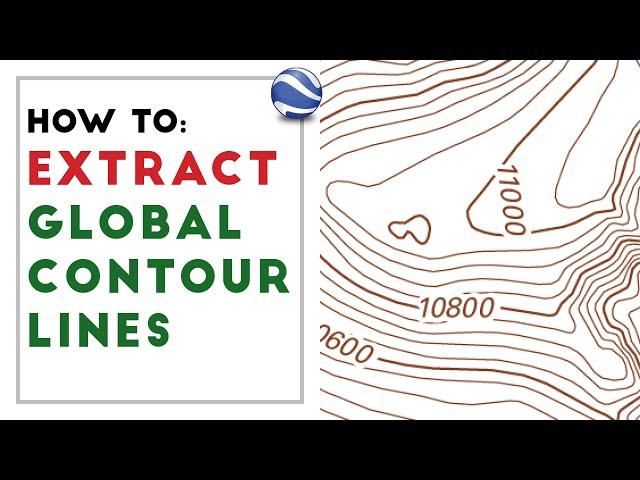
How to extract CONTOUR LINES from anywhere in the world!
Комментарии:

Is this in Ft? or what unit of measurement?
Ответить
How can you download archMap from archGIS (trial) ...so irritating I can not find it for the 2nd time
Ответить
Any possibility of instructions of how to do this on a Mac? I’ve made it halfway through the video and love it but have spent a full day trying to muddle my way through with QGIS and can’t work out how to do the equivalent of what you demonstrate in ArcGIS. Would love your help for all the Mac users out there.
Ответить
I need to get contours of my field that are within 10cm or so !
Any ideas how I cam make this happen.

This was really helpful
good job

nice explanation
Ответить
Can this technique be used to map water elevations and get contour lines for rhino
Ответить
why the crap music
Ответить
Does anyone know why it looks flat inside AutoCAD?
Ответить
why can't i find a blank map template on my arcgis templates?
Ответить
Hi, when i convert the file into points, the features file gets exported into different files on my system but the points dont show on the interface itself… how do i resolve this?
Ответить
I have followed all the steps but my conrour lines just don't seem to appear. A check on the attribute tables, there is nothing.
Ответить
Hello, thanks for uploading. However I ran into a problem, when analysing the features with the IDW tool, it fails and I tried it several times again and same result. Please tell is if there is a way to fix this
Ответить
I can't find the same google earth you are using what should I do
Ответить
The contourlines look absolutely nothing at all like the shape i try to map, not even close at all despite me doing everything like shown in the video, sure there is a rough blob where my island sits but thats as far as similarities go, where could i have gone wrong ?
Ответить
thank you brother. very useful
Ответить
Easy subscription for me! Helped me out a lot for my archi studio class
Ответить
This is awesome! Thanks so much!
Ответить
Hey, how do I be able to download the Arcmap since I can download the ArcGIS pro and it is nothing like the ArcMap that u r showing?
Ответить
Great Video. I have completed the contour map. Can this be imported back into google earth pro so the contour map can overlap on the path data that the original data was extracted from?
Ответить
Hi, I'm using QGIS; when you create "Elevationmap", which file type is it? QGIS creates a .TIF by default but when I try to interpolate the contours there are no data sets...
Ответить
Can we import the outcome Topo from Cad as 3D?
Ответить
Can we get a contour map with the difference of 1 foot(or smaller than 1 meter) by this method?
Ответить
This is so helpful! Thanks for uploading!
However they are on a flat plane and without height variation while exporting to CAD.
How do I incorporate the elevation information to these lines? so I can further import them into 3D software for modelling.
Appreciate in advance any tips or help!

Hi, im having trouble running the ArcGIS. I already have my Trial Account but when i try to login, says that there's something wrong with my clock and i does not recognize me as a user. Any thoughts?
Ответить
Can i make them to 3d ?
Ответить
thank you so so so much! I wish I would've seen it a few month ago
Ответить
Thank you it was really helpful :)
Ответить
thaaank you!!! i was looking for some thing exaclly like that !!!
Ответить
This was my first time on ArcGis and your tutorial was a great help, although some things are in different places. probably its an update.
Ответить
🔥 The tutorials are awesome, simple to follow. Keep it up
Ответить
Thans
Ответить
That was super useful.😃🙌
Ответить
Nice Video. Thank you
Ответить
but the worldwide elevation data is 90m res. lolllll
Ответить
Supre bro
Ответить
plz turn off the background music! it makes me crazy
Ответить
i keep getting all elevations being 0, any help ?
Ответить
Great, Thanks for shearing ..
Ответить
thankx alooooooooooooooooot
Ответить
I would like to know how to access the ArcMap (the one u used), but not the ArcGIS. I want to follow u exactly. So please help me
Ответить
This was so helpful, thank you.
Ответить
How accurate are the elevation data?
Ответить
Hello, fellow Vancouverite
Ответить


