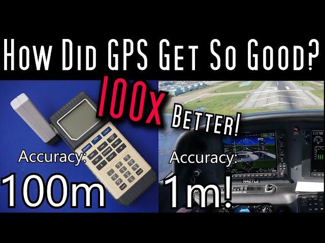
How GPS Works, And How It Got Better Than The Designers Ever Imagined
Комментарии:

That’s exactly how I thought it worked ⚡️
Ответить
This was a great description of GPS with lots of details I haven’t heard before. Great job! I’ll add two details
(1) GPS uses General Relativistic corrections to achieve its accuracy, since the signals fall down into Earth’s gravity
(2) The actual GPS signal is too weak to see on an oscilloscope. The signal is below noise.

I guarantee Niantic has contributed to improving GPS.
Ответить
GNSS these days.
Ответить
Excession is upside-down.
Ответить
Wow, who’d have thunk that you were a fan and interested in space LOL :-) I never would have guessed it.
Great description thanks!
In the late 90’s I was flying a 747 across the Pacific. In the wee hours we had a visitor to the flight deck, who mentioned that he worked for the US defence department and that they were going to disable “selective availability” for civilian GPS on a certain date.
Sure enough, many months later, on the exact date, my boat GPS (and everyone else’s) suddenly became far more accurate, fabulous!

At first, the military wanted to artificially limit the accuracy of GPS. Apparently that went by the wayside.
Ответить
As a guy who had a GPS Receiver (yes I know my receiver isn't a "GPS" itself) in 2001 and an early geocache, I remember when Selective Availability was turned off in 2003 and received my first GPS with WAAS enabled. Instead of being in a football field of a cache it was like like 15 feet or so depending on canopy. I can't believe it's been two decades and how much I and the world take GPS for granted! Thanks for the retro view with the right level of detail to understand. Didn't know the maths was so layered.
Ответить
Guess what a primary military targets by bad actors … Question what is the backup plan …
Ответить
Us navy has atomic clocks that are used as the standard of the us. They did an experiment awhile ago to prove that as you approach the speed of light time slows down, they put one of the clocks on a plane and flew it around the world … when they returned… the clocks were no longer in sync ..
Ответить
Back in early ship navigation the best navies had the better clock … the less drift in time the better the star navigation…
Ответить
Similar processes are used in the cell phone industry… CDMA and tdma… and they are still evolving… also for cell phones wifi is including position information even if you aren’t logged into a wifi site you still get info from it …
Ответить
The ground troops radioman carry of backpack that keeps track of the groups position and reports it dynamically up the command chain so that the war board plots movements and positions of all troops in play …
Ответить
Military radio transmissions cryptography relies upon absolute clock synchronization…
Ответить
The military and civilian versions of GPS were initially designed to limit the accuracy of the civilian mode as a matter of security…
Ответить
DAMN! I had that Magellan!
Ответить
Most phones today use all the 4 big systems; GPS, GLONAS, Galileo and the Chinese one.
On top of that, most cell towers broadcast their exact position, and local time.
Combining all that information, the navigation module inside the phone can flag if one satellite or an entire system has gone rouge. And, when all the systems play nice, the phone can combine all the data to get sub-meter accuracy.
But i can understand why civilian grade GPS hardware is limited regarding speed and altitude... shouldn't be too easy to obtain military grade positioning to strap on to your homemade rocket.
But even with the limitations in place... I have been able to get both altitudes and speeds out of my phone, that GPS itself isn't supposed to allow, while on a commercial flight (of course in flight mode, just with GPS turned on, and the phone pressed up against the window).

Now where yjr heck did did I put my mobile phone?
Ответить
Even my three year old Samung phone uses 5 GPS constellation: US, Russian, Euroean, Chinese and Japanese. It can also use augmented signal ephemeris downloaded from a web site when I have internet connection. It even mostly works houses but not in the centre of large concrete Malls with no natural light access. It is truly amazing and so very useful for anyone like me who does field work in quite remote locations - currently I am looking at equipment on irrigation schemes in Sumatra, Indonesia. Prior to GPS when i started my career, a lot of survey work consisted of "Where the f**k are we?" before we could even start work. Sometimes we just knew what we saw but couldn't work out where it was. What a game changer to know where you are within a couple if metres using just your phone.
Ответить
I was driving down Norodom Boulevard in Phnom Penh just after SA was turned off. When I downloaded the data from my Garmin II+ I found for the first time ever I could see which side of the road I was on when going and coming back. That loss of 50 metres of inaccuracy really helped make GPS so much more useful for such things as logging field equipment locations . 50 metres can be a long way to be lost in thick bush when looking for kit! So thanks Bill Clinton!
Ответить
![MassOmerta - MAGASS [Clip Officiel] MassOmerta - MAGASS [Clip Officiel]](https://ruvideo.cc/img/upload/Y2JodWQyN2hLT2w.jpg)


