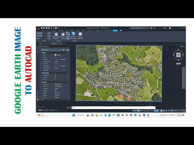
High Resolution Google Earth Image to AutoCAD & Georeferencing!!
Hi viewers, Welcome to a brand-new tutorial in @GISRSSolution. Today’s tutorial is about how to add a high-resolution image from Google Earth to AutoCAD, and how to georeference the image using just two reference points within AutoCAD. I am sure you will find it cool and very useful.
#arcgistutorial #autocad #georeferencing #gisrssolution #gisbestchannel
Song: Markvard - Sky
Music provided by Vlog No Copyright Music.
Video Link: https://youtu.be/6R9DWrn_Id0
#arcgistutorial #autocad #georeferencing #gisrssolution #gisbestchannel
Song: Markvard - Sky
Music provided by Vlog No Copyright Music.
Video Link: https://youtu.be/6R9DWrn_Id0
Тэги:
#GIS #Remote_sensing #arcgis #gisrs #learn_arcgis #how_to_create_map_in_arcgis #GIS_youtube_channel #spatial_science #geospatial_science #autocad #georeferencing #how_to_georeference #google_earth #high_resolution_image #image_analysis #gis_best_youtube_channel #best_gis_channelКомментарии:
High Resolution Google Earth Image to AutoCAD & Georeferencing!!
GIS & RS Solution
Psalm 121 Reading of "I Lift My Eyes To The Hills"
Prayerscapes
How To Edit Like A Pro
NaughtyyJuan
Effect Ideas For Edits In After Effects PART 5
NaughtyyJuan
How To Make A Cube On After Effects (EASY)
NaughtyyJuan
UK Official Singles Chart Streaming Top 100 (November 29th, 2024)
Billboard Top Songs
Effect Ideas For Edits In After Effects
NaughtyyJuan
Hot mom Nagita slavin Keliahatan Meme'Knya.....
Dunia Malam Lelaki
The Perfect Hammock Sleeping Pad?
The Bushcraft Padawan
How to Spot the Masks People Wear!
The Behavior Panel


