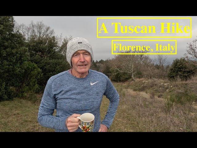
A Tuscan Hike. Florence, Italy
Expat Lifestyle with Badds.
Hello and welcome.
This video explores the Tuscan country-side surrounding Florence. Hiking provides you a wonderful opportunity to exercise and enjoy the natural environment. I encourage you to regularly explore your neighborhood too.
I hope you enjoy this episode.
Please provide feedback or ask questions in the comment section below.
Contents of this Video – Time Codes
0:00 Intro
0:38 About the Hike
1.19 The Komoot App
2:13 Start of the Hike
5:16. Coffee Break
5:42. Nearly Finished the Hike
6:32. Conclusion
A panoramic hiking loop around Bagno a Ripoli. This hike is 15.8 km in length and the suggested time to complete the walk, as indicated on the Komoot App is 4 hours & 47 minutes.
So lets explore the breathtaking landscapes surrounding Bagno a Ripoli with this panoramic hiking loop. The trail offers a perfect blend of nature and culture, taking you through charming villages, lush greenery, and providing stunning vistas of the Tuscan countryside. Begin your journey at Bagno a Ripoli where you'll be immersed in the rich history of the region. As you ascend, enjoy panoramic views of rolling hills, vineyards, and olive groves. The well-marked trail leads you through lovely countryside, allowing you to experience the local culture and architecture. Be sure to bring a camera to capture the picturesque scenes along the way. The loop culminates with a rewarding view overlooking Florence with the Duomo being seen in the background. This view offers a memorable conclusion to this delightful hiking adventure.
Komoot is a navigation and route planning app that enables users to create and follow routes based on terrain type and fitness levels. Komoot has an easy interface and robust route planning algorithm.
Using a start and endpoint, Komoot will tell you the distance, elevation profile, road surface, fitness level required, difficulty and estimated time needed to complete the route.
Komoot uses the open-source OpenStreetMap database for its base mapping but then uses its own algorithms to establish the best route depending on activity type, selected waypoints and points of interest.
If you have any thoughts, questions, or previous experiences regarding hiking around Florence, please provide this feedback to me via the comments section below. It is also greatly appreciated if you can click ‘like’ as this will help make this video to be more visible to others.
Also, please consider subscribing and clicking on the bell notifications too.
I hope enjoy this episode.
Ciao
Комментарии:
A Tuscan Hike. Florence, Italy
Expat Lifestyle with Badds
Little Live Pets | My Pet Pig | How To Care and Play
Moose Top TV Commercials
“สุริยะ” เปิดทางถอย “เขากระโดง” | เจาะลึกทั่วไทย | 25 ธ.ค. 67
เจาะลึกทั่วไทย Inside Thailand
Full refurb and axle shorten
Skip Worx everything waste
Mugzz - Chicago
Mugzz
The Enormous Potential of a Small Farm | Assawaga Farm
No-Till Growers
Attorney General Moody’s Consumer Protection Team Receives National Award for Stopping Moving Scams
Florida Attorney General's Office
Reed Hastings, Netflix: Stanford GSB 2014 Entrepreneurial Company of the Year
Stanford Graduate School of Business
เหยื่อคอนเทนต์พิเรนทร์ "แบงค์ เลสเตอร์" ถูกจ้างดื่มดับ | 26 ธ.ค. 67 | ข่าวเที่ยงไทยรัฐ
THAIRATH TV Originals
Moments When Celebrities Prank Coaches in Voice Audition
Booming Entertainment
Gearbox Replacement on the Pottinger Mower
Boehm Farm


