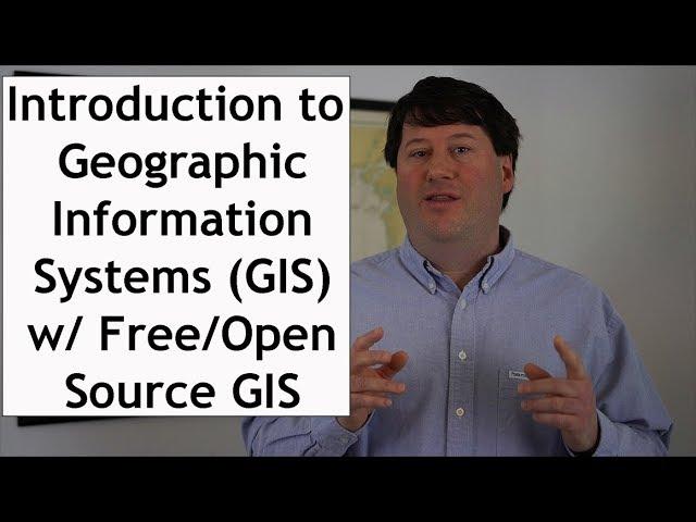
Introduction to Geographic Information Systems (GIS) Software: An Open Source Lecture #GIS #Maps
Комментарии:

Nice video :)
Ответить
Quality education, I am going to keep an eye out for your 2nd edition book coming out soon. Merci! QGIS downloaded and I started playing with it, I'm trying to learn Python and SQL related data science lately after encountering them a little bit in my geography courses. I want to learn more about shape files as they seem unique to GIS over the general data sciences.
Ответить
Thanks for posting this overview on GIS. Looking forward to seeing more.
Ответить
nice vid! Too bad the sound only comes in one earbud.
Ответить
Brian, you have a pedagogical and engaging way of conveying knowledge on GIS. Your passion for its inherent possibilities transfers to viewers. Well done!
Ответить
I honestly thought when starting to learn about GIS in university that it would be a chore, but you managed to make it somehow interesting :P.
Ответить
What do you think of blender for GIS? Also, do you think someone with no experience in the industry can become a "rodman" (on the field data collector) without a full understanding of the data compiling and drafting side of the industry?
Ответить
Your video has given me a very good introduction of GIS. The video is very easy to understand and practice. Hope many more is to come
Ответить
I want to learn GIS in the field of web gis, and currently I take lessons on javascript django database. Is web gis required in the market and give me advice please
Ответить
No sound.
Ответить
Great Video.
Ответить
This Video is amazing. Thanks alot!!!!
Ответить
Thanks for the knowledge and for some, an excellent intorduction to a worthwile and producrtive career.
Ответить
please send me QGIS software link
Ответить
Hi man thanks for the video but I am wondering if GIS is still good career and demand ? thank you
Ответить
Awesome information
Ответить
Hello Brian ,it is wonderful video ! I am curious is there any possibility to to find out the land encroachment of a lake. We do have the GIS map of the said Lake taken in 2008 .So, considering the base year as 2008, is there any way we can integrate API to a software to find the deviation on the map so far to find the land encroachment and other changes from time to time since the base year. I will highly appreciate your suggestions and inputs on this ..
Ответить
Thank you ! Just started my degree in GIS !
Ответить
is there a free open source to find datasets for your projects ?
Ответить
Isn't there a site that lets you enter a land by name or address or zip code? I'm looking for the lines dividing where public can, or can't be. Like if I were walking along a road and someone randomly tells me I'm on their property but I am literally walking on the side of the road. How the hell do I know officially (legally)?
I see several people I watch that use these things and they always say "Just grab the gis on it". Any time I ever try to look for any kind of GIS I never find anything that offers the information, rather just information talking about the information and all the great stuff it offers.

It is really great lecture, I benefit a lot, and would like to continue learning GIS from your Videos.
Ответить
Thank you very much, this was my first intro to GIS. I learned something new.
Ответить
Nice video, easy to follow and understand. Thanks!
Ответить
Who would have thought that after all this time playing sim city and civilization, I'd be an advanced novice in GIS.
Ответить
why are there no audio? only got audio during introduction before 1.30
Ответить
I'm a dev learning gis and this video is a great step in that journey. 👏🏾
Ответить
Thank you so much for this video. God bless you more!!!!
Ответить
Thanks so much for the video, it's very helpful. Are the datasets free to use under your copyright or a CC licence or 'free' free? Thanks again.
Ответить
What did you get your PhD in?
Ответить
How can I analyze the entire USA to find (amongst other 'ANDed' booleans) every house which sits on a hill? By 'sits on a hill' I mean: 'has at least 90 contiguous degrees azimuthal unobstructed negative 30 degrees slope in the terrain for at least 150 meters in elevation'. Basically I want to live on a hillside or a knoll. What (affordable to regular person) software will all this type of programming?
Ответить
I need to to get digital data file for, let's say US rivers system and their streams and stuff, organized based on GPS coordinates. Will GIS software do it for me?
Ответить
Wow he presented it well, thank you very much for sharing
Ответить
Most of this was 'over my head' ... but ... I've been playing around in QGIS, just enough, that nothing you were talking about was 'foreign'. Thank you for putting this Video together.
Ответить
"This is what I like to see."
Ответить
interesting
Ответить
Best intro to GIS I have seen!!!
Ответить
Brian, how can I download the data set from your website?
Ответить
Brian I have just started to listen to your video. I am an adjunct professor. You have conveyed information in a very good way.
Ответить
excellent
Ответить
This is very helpful. Thank you!
Ответить
thanks for teaching
Ответить
Good work
Ответить
This guy is wearing a Pendleton shirt so I have to trust him
Ответить
I am new, help me.
Ответить


![MK vs SF 3 (Chameleon vs Shin Akuma) (Actual fight) [2 of 2] MK vs SF 3 (Chameleon vs Shin Akuma) (Actual fight) [2 of 2]](https://ruvideo.cc/img/upload/TV9MdUJOUk10TGY.jpg)


